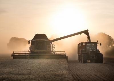


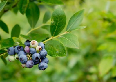


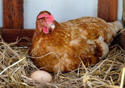
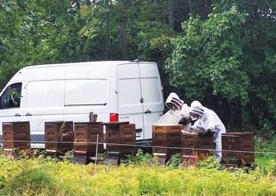

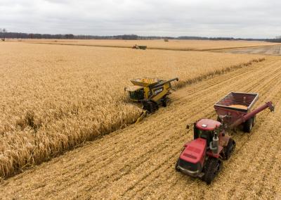

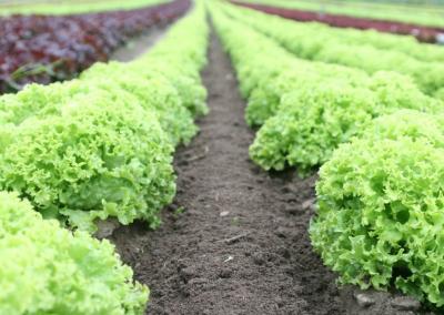

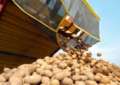

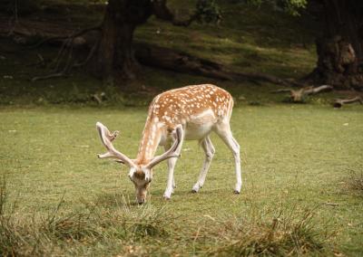


Digitalisation in agriculture takes off - smart farmers win
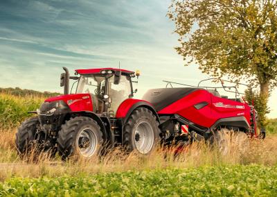
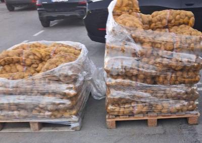
Agriculture will not be the same as it was before – digitisation has not stopped there. The need for farmers to use advanced tools comes not only from a desire to do things faster, more efficiently and thus save time, but also from a desire to produce higher yields at the lowest possible cost. The legal framework for declarations also contributes to the development of the digitisation of agriculture – so the earlier farmers decide to start using an application, the easier it will be for them in the future.
Išmy application
As farmers have become increasingly aware of the problems they face and their need to incorporate more precision into their operations, išmanic farm management applications have started to appear on the market. One of these is „Geoface” – an application developed in Lithuania in collaboration with agronomists with many years of experience and in consultation with farmers and agricultural companies. The Programme is continuously updated and improved to meet current needs, such as the introduction of field cropping at 3 m to the headland.
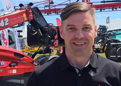
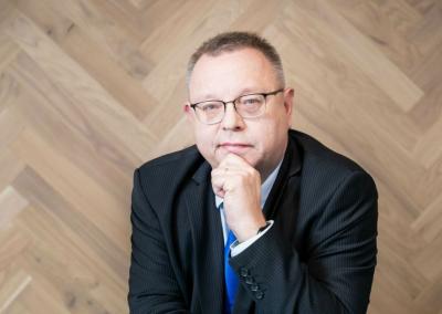
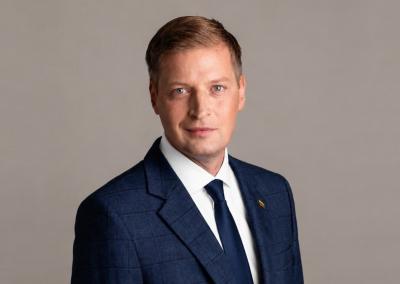
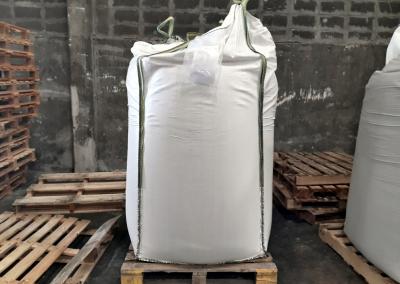
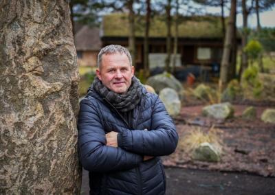
“It is necessary to calculate both the costs and the revenues and to take into account the legal requirements. Farmers have to use the products as specified – when to spray, how much to spray, how to fertilise &ndash. We have developed a programme where farmers record everything. The app also makes it easy to send data on spraying and fertilising times and products used to the controlling public authorities. It takes just a few minutes to fill in the field history and other data," said Geoface“ project manager Giedrius Žiūraitis.
Easy to use and declare pur&scaron& kimas and PPE logs
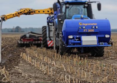
Before you start working with the application, you need to map all the fields on your farm. This is easy to do and the software offers a number of ways to do this, such as importing the fields directly into the EAA. Once the fields have been uploaded, you can start planning your work. In GeoFace, all types of farm work (sowing, fertilising, hoeing or mechanical work) are planned in the same sequence using a standardised &scaron ablon. The planning is carried out in a mass, automated way, selecting all the fields of a single crop, with the possibility to delete part of the fields from the work plan. Once the work is completed, the actual quantity of inputs used can be recorded and logged, and the real rates and real costs can be recalculated and recorded.
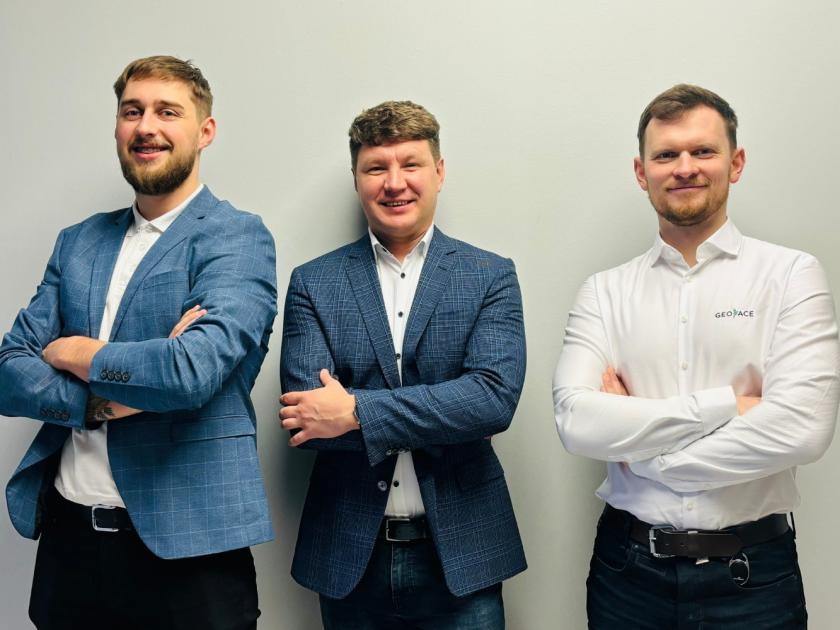
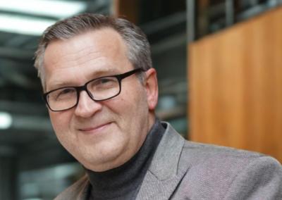
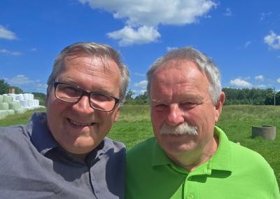
"Geoface" team": from left – Arnoldas Kemzūra, Giedrius Žiūraitis and Ignas šiugždinis.
After planning fertiliser or spraying, the amount of active ingredient per hectare, per field and for the whole farm will be visible – no calculator will be needed. Also, all fertiliser applications will be automatically transferred to the fertiliser and spraying logs, which will no longer need to be compiled individually, but can be sent directly to the EAA system (paseliai.vic.lt) by pressing just a few buttons.
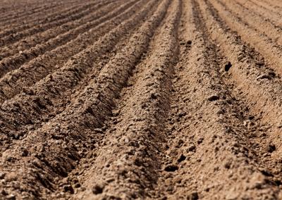
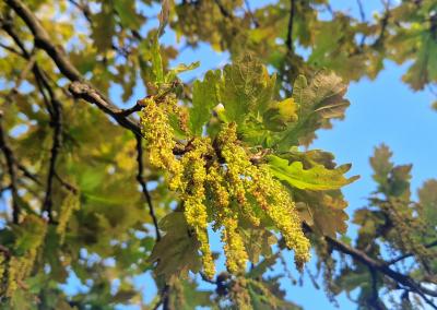
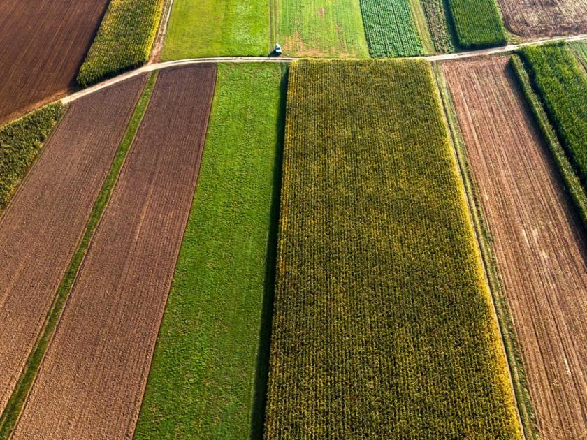
Sowing and crop rotation
Seeds and fertilisers are selected from a wide range of products collected from all major suppliers. If you do not find a product you like, you can add it to the list yourself. A recommended sowing rate and a sowing rate calculator are provided. It is also possible to add the necessary beicus and micronutrients to the planned sowing.
With „Geoface”, you can conveniently keep track of the previous crop rotation for all fields and plan ahead. One of the biggest advantages of &Scaron's farm management software is the reliable storage of information. Keeping farm data in a notebook is much more risky than entrusting it to well-maintained data centres. „Ši information will remain for dešyears, easily accessible and reliable. The work done, the products used and the cultivation techniques chosen will still be available many years later. This will make it much easier to keep track of the percentage of farm fields planted, the storage of intercrops and to make the best strategic decisions," says Giedrius Žiūraitis.
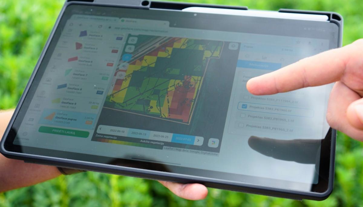
Field monitoring with faPAR (NDVI) index and through different map layers
Using satellite (faPAR) information provides a unique opportunity to fertilise your crops with nitrogen at variable rates. This provides the double benefit of avoiding unnecessary fertilisation, saving expensive nitrogen fertiliser and increasing yields through targeted fertilisation.
Not least of all the ease of use of the software is the ability to accurately assess problem areas in fields and make timely decisions. By seeing the huge unevenness of the vegetation, it is possible to look for problems in the drainage system, in the soil or anywhere else.
Šeima farms
Family farms are very popular in Lithuania, where one large farm shares its capacity and where two, three or even four farms work together, but the owners live under one roof. The management of such farms is much more complex than that of a single very large farm. In „Geoface” it is usually possible to manage several farms from a single account, to plan field work for different farms in the same family. There is also an integrated user level system, where different users of the application see different levels of information about the farm.
Financial monitoring
The Geoface“ software allows you to monitor the finances of your farm. The warehouse function automatically records the cost of work according to the materials used, and various other information can be added here, both for the farm as a whole and for each field individually. Keeping the information neatly – provides extremely valuable information: the profitability of individual crops or fields is visible. Iš the statistical information provided enables farmers to make strategic decisions. Knowing how different cereal crops grow in different places allows better decisions to be made, with the greatest economic benefit," said Giedrius Žiūraitis.